Llansteffan - long walk
Llansteffan
Llansteffan has a long tradition of shipping – it was termed a port in the Middle Ages and as well as local trade there would have been vessels from France and Spain with cargoes of wine and other luxuries. Enterprising gentlemen in the 16th and 17th centuries, like the Lloyds of the Plas, owned or had shares in trading vessels. Many bulk goods were moved by sea and until turnpike roads the sea and river were the quickest and cheapest way to travel to Carmarthen or further afield. There were also of course local fisherman and cocklers. These latter traditions continue – although very few can make a full-time living.
Llansteffan has been a holiday resort for some time. In the 19th century it was the leisured classes who visited there. Bat all changed with the construction of the railway through Ferryside on the opposite side of the river, which opened in 1852. The tremendous growth f mining communities in the South Wales valleys- many of whom retained family connections with their Carmarthenshire origins – led to many taking their holidays in Llansteffan. The ferry from Ferryside landed passengers at low water off The Green. A popular tradition, recently revived is the election of the ’Mock Mayor’, usually a local character or well-known visitor, appointed with much comic speech making and celebration.
Even by Welsh standards, Llansteffan castle is spectacularly sited on a craggy promontory at the mouth oh the river Tywi, with panoramic views over the estuary mouth to the Gwendraeth Estuary, Pembrey Forest, Cefn Sidan beach and across the Gower and Worm’s Head. The castle stands guard over the village and the estuary, as it has since it was built by the invading Normans in the 12th century. Destroyed and rebuilt at least three times, it is now under the acre of CADW and is open to the public.
Other buildings of interest include the fine 18th century Plas mansion , build on a site occupied by the same family since he 15th century. The round shop on the village square is built on the walls of the village pound for stray cattle. The 12th century church is dedicated to St. Ystyffan, a 6th century Welsh saint.
Map of walk with points of interest
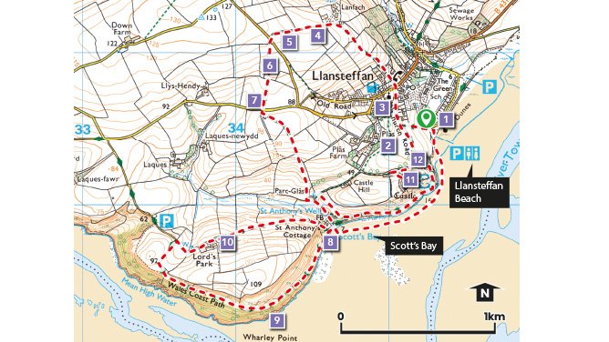
Download the walk leaflet Download GPX file
Video highlights of the Llansteffan walk
Why Walk?
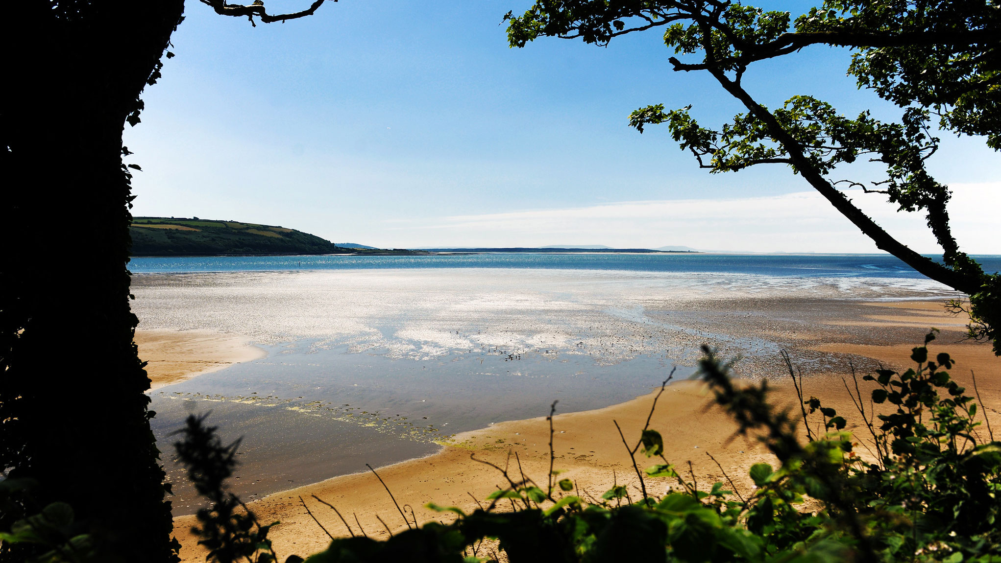
A delightful coastal walk taking in the imposing Norman Castle with staggering views across Carmarthen Bay and St Anthony’s well with its water reputed to cure many ills! Also includes the quiet, secluded, golden sands of Scott’s Bay. Walks in this area combine fabulous coastal scenery with lovely country lanes. The paths are usually of a gradual gradient and easy to follow, often skirted by flower rich hedgerows. NB. sections of the walks can be muddy in places even in summer, good footwear is therefore recommended.
Walks range from a short walk of 3km (1.8miles) to a long walk of 7.7km (4.7 miles) along some of the Wales Coast path and inland through the beautiful countryside.
How Hard?
A short walk to St Anthony’s Well, (along the beach if the tide is out) and back along the cliff top path, taking in the castle, is approx. 3km (1.8 miles) long with 62m (203ft) of ascent.
A medium walk to St Anthony’s Well and continuing along the Wales Coast Path to Lords Park and a return via the cliff top path is approx. 5.6km (3.4 miles) long with 144m (472ft) of ascent.
For a good long walk, follow the outer circle of the recommended routes. This is 7.7km (4.7 miles) long with 210m (688ft) of ascent.
Starting point/Car Park - Llansteffan Beach Car park
Public Transport - ✔
Refreshments - ✔
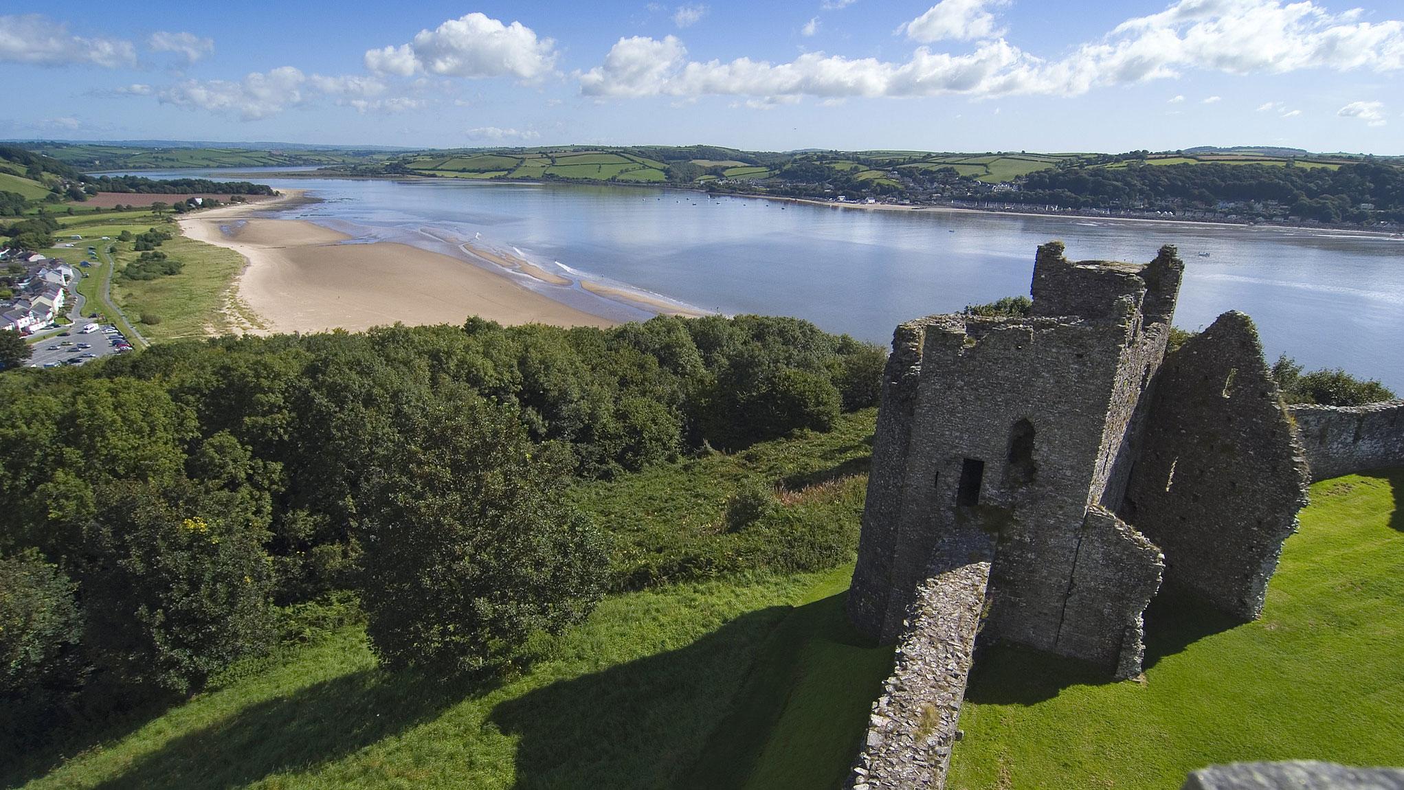
View from Llansteffan castle
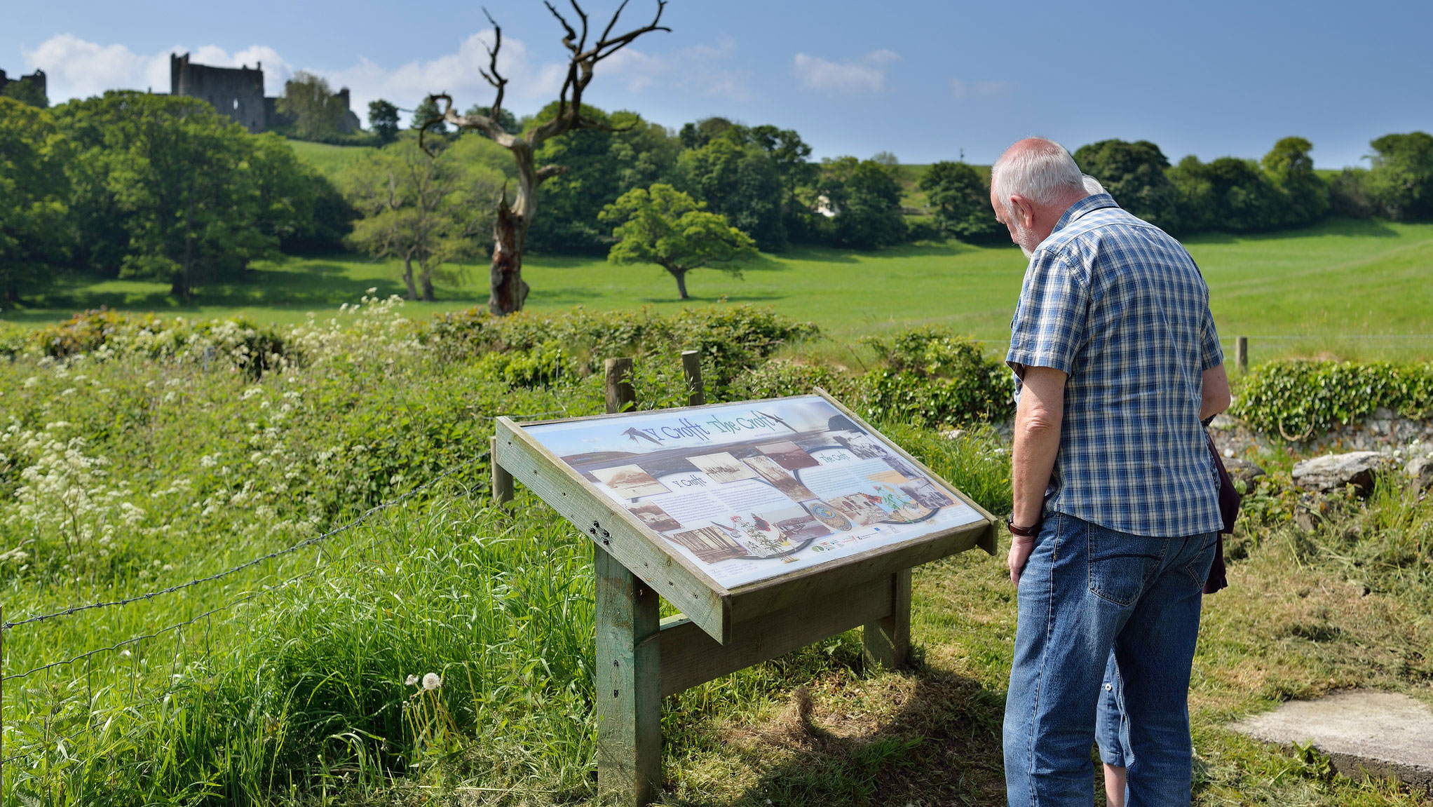
The Croft
Points of Interest
1. The Green - The Ferry from Ferryside landed passengers at low water off The Green.
2. Plas Mansion was built on the site of a much earlier building in 1788, in Classical style with a fine two storey façade and a pillared’ Tuscan Portico.
3. Llansteffan Church dates back to the 13th century but undoubtedly stands on the site of church of an earlier period. In 1160 Geoffrey de Marmion, lord of Llansteffan gave the church to the order of the Knights Hospitaller who cared for travellers and pilgrims. The tower was built in the 15th century.
4,5,6. The former open field system of medieval Llansteffan became fossilised in the present day field shapes. The curving S shapes represent the action of the big medieval plough teams.
7. The Kings Way was an important highway in medieval times linking the Ferries to Laugharne and Ferryside.
8. Hidden behind a door in the wall is St. Anthony’s Well, its waters are reputed to cure many ills! The stone information slab inside the walled structure around the well claims that it has been the site of healing since the 6th century.
9. Wharley Point - on a clear day it is possible to see as far as the north Devon coast, Lundy island, and the Gower Peninsular.
10. Lords Park Farm is a typical example of an estate farm that came into being as the common fields became enclosed and new gentry estates were organised into home and tenant farms.
11. Llansteffan Castle The earliest fortification on this site was a 6th century BC Iron Age hillfort. In the early 12th century the Normans built an earth and timber fortification and the present castle was constructed by the 13th century.
12. Heol y Glo - The name of the road (Coal Road) recalls the local trade that lasted until the 1920s. Coal from the Gwendraeth Valley would be brought round to Llansteffan and up the Tywi and Taf rivers.
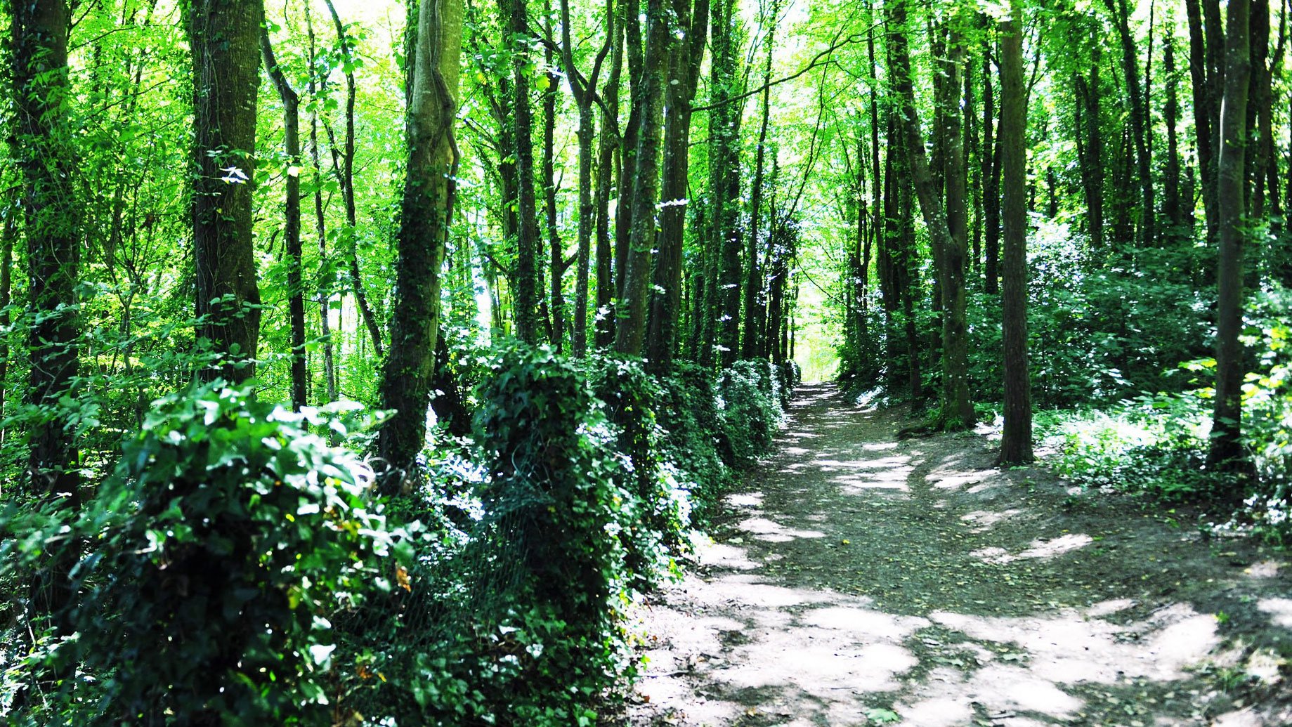
The Sticks woods
Scott's Bay