Llangammarch Wells & Epynt
Featuring wilderness and big climbs heading into the Brecon Beacons National Park
Start: Llandovery
Total Distance: 83km/51 miles
Total Elevation: 1345m/4410ft
Difficulty Rating: 7/10
Estimated Time: 3.5 to 5.5hrs
Route map for Llangammarch & Epynt - Llandovery (T3) by Discover Carmarthenshire on plotaroute.com
Route Information
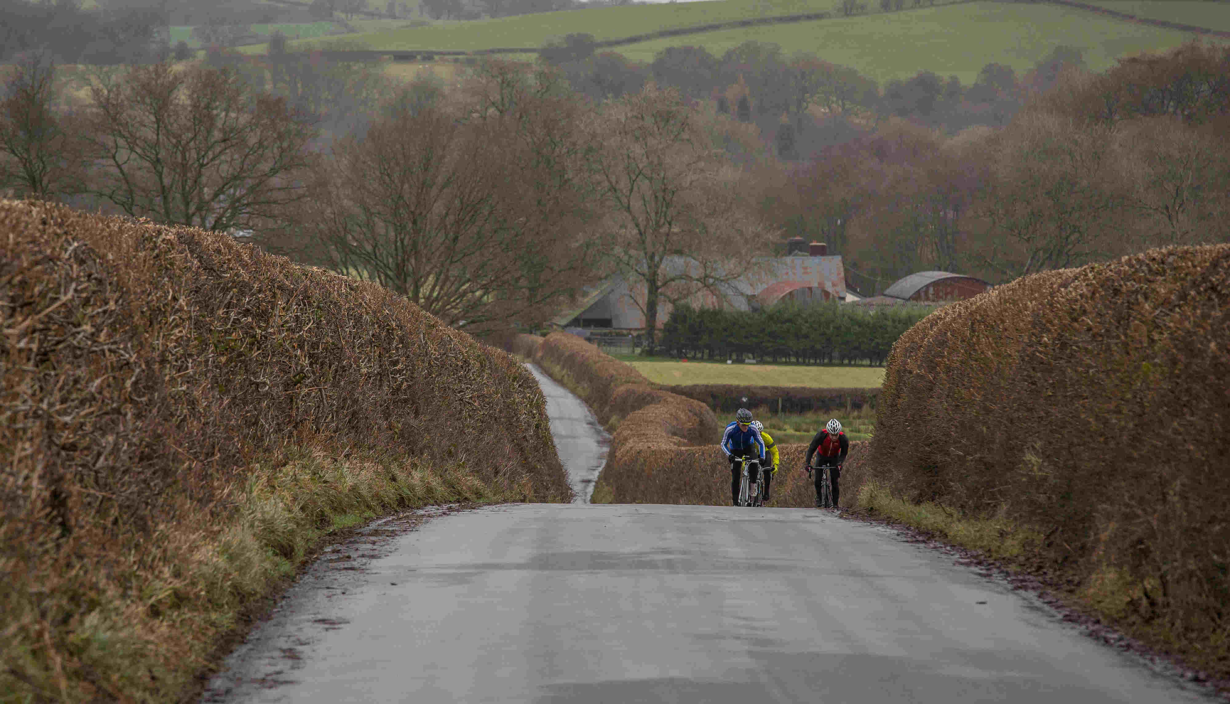
The Epynt is an area of upland that has remained almost completely wild given the majority of it is owned by the MOD and off-limits. Only a few roads through it are open to the public and this route uses the road to the North.
From Llandovery the first 10km on the A483 to Cynghordy is rolling but not severe but the moment you turn off and onto minor roads the road steepens. To the village of Tirabad is a really enjoyable section, mostly uphill but very scenic as the elevation increases. Sections of the road lie within Crychan Forest and at times the trees border the road closely.
The quiet road continues all the way to Llangammarch Wells, one of 4 spa towns within the Mid Wales and in the case of Llangammarch it is due to a barium well that has since been closed. The road starts to gain height after leaving Llangammarch and shortly after the climb up Pennau Hill begins. A few turns lower down on the mountain lead to one very long uphill section where the red flag is visible higher up and this section marks the start of the MOD training area and also near the top of the climb. Mynydd Epynt as an area is full of never ending undulations and this Northern area is certainly true of that.
You pass a few known spots on the route including the Drovers Arms, which is a now empty former pub where the sign still hangs and is still a meeting point today, albeit one for soldiers on training. A kilometre of so later the road passes what was once a farm house, but now a basic centre which includes toilets and some information about the Epynt area.
From Upper Chapel to the turn off to Cradoc is fairly quick being a gradual downhill for much of it and hopefully with a prevailing tail wind behind you. From Cradoc to Aberbran the route is on a quiet but occasionally narrow road, but this section means bypassing Brecon and a section of busier road.
The final section after joining the A40 soon after Aberbran passes to Sennybridge and then Trecastle. The A40 is a trunk road and one that runs from London to Pembroke Dock and this point, just outside Trecastle marks the highest elevation of the entire road. The upside of that is that from here all the way to Llandovery is a gradual descent and with no major climbs to worry about it should make for a straight-forward finish to the route.
Directions
From Llandovery Car Park exit onto the A40 and follow for a 300 metres, then turn right (before the level crossing) onto the A483, signposted Builth Wells. Follow for 7km and as you enter Cynghordy, turn right on a nasty junction on the brow of a hill, signposted Tirabad. Continue uphill and through Tirabad and on to Llangammarch Wells. At the t-junction, turn right and follow the road for 2.5km up to a crossroads. Turn right and follow the road up Pennau Hill and onto Mynydd Epynt. Follow across the open land and to Upper Chapel.
As the road approaches Upper Chapel arrive at a t-junction and turn right. Follow for 12km, through Lower Chapel and Llandefaelog. Shortly after, turn right signposted Cradoc onto a minor road. Continue to Cradoc, turn right at the junction in Cradoc and almost immediate left both signposted Aberyscir. Follow through the village of Aberyscir and Aberbran.
As you pass through Aberbran, cross a narrow stone bridge and soon after turn left, signposted Brecon. Follow to the t-junction and turn right onto the A40, signposted Sennybridge. Follow the A40 back to Llandovery and turn left immediately before the Castle Hotel to enter the car park.
Highlights
Mynydd Epynt – The northern area of Epynt is a beautiful or rather bleak area depending on the weather
Pennau Hill – Long, straight for a very long section and marked by a big red flag near the top it is a challenging one
Tirabad – A small village that is surrounded by an MOD area. Quiet rolling roads for miles
Stopping points
Llangammarch Wells – Village Shop
Sennybridge – Post Office & Village Shop
Sennybridge – Oil 4 Wales, Petrol Station with shop & cafe
Llandovery – Penygawse Tea Rooms
Llandovery – Craft Centre Cafe
Llandovery – West End Cafe
Useful info
County Cycles – Bike shop, Cross Hands