Teifi River Tour
This challenging route follows the river upstream before climbing over the stunning Llanllwni Mountain to the village of Brechfa before returning via quiet country lanes.
Highlights
Mynydd Llanllwni – The climb up is long and challenging, but the views at the top and the fast sweeping descent off the top make it all worthwhile.
Brechfa – The descent into Brechfa is one of the best around. Fast, sweeping bends from top to bottom.
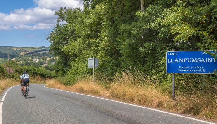
Climb out of Llanpumsaint – Just over 3km at 5% average make it a long, lung busting climb, but it is almost all downhill to the finish from the top.
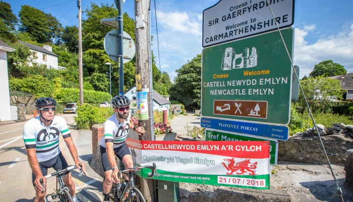
Start: Newcastle Emlyn
Total Distance: 90km/56 miles
Total Elevation: 1740m/5700ft
Difficulty Rating: 7/10
Estimated Time: 3.5 to 7 hours
Starting from Newcastle Emlyn, head out on the A484, towards Carmarthen. After 6.5km turn left, towards Llandysul. Follow for a few kilometres, then turn left at the t-junction towards Llandysul. Follow until the roundabout, taking the 2nd exit onto the B4624 and follow for 5km to Llanfihangel-ar-arth where you turn left onto the B4459, towards Capel Dewi. At the bottom of the descent, cross the river Teifi and immediately after turn right onto an unclassified road.
Newcastle Emlyn is a town that sits right upon the river Teifi, one of the longest in Wales and for much of the length of the river it forms the boundary between the counties of Ceredigion and Carmarthenshire. The river is the reason that the town is built where it stands today with history dating back over a thousand years and with plenty of historical sites, including remains of a castle still visible within the town.
It seems fitting for a town that has its history ingrained alongside the river that this route from Newcastle Emlyn starts by tracking the flow of the river Teifi, towards the source. Of course this does mean going uphill, albeit at a gradual rate to start. After leaving the town the route heads out on a reasonably quiet tree-lined A-road that gives the occasional glimpse of the river on your left as you head north. With a prevailing wind from the South West there is a good chance of a tail wind to start and makes progress quick.
The route winds it way towards Llandysul, which is another town that lies on the Teifi and is known nationally for the local canoe club that use the river to such great effect. While the route bypasses Llandysul itself, it would only be a short detour should an early stop be needed to refuel along the route.
The outskirts of the town mark the start of the first major hill on the route although compared to some of the hills later on this is a mere warm up at 3km and an average of 4%, but the initial slope does feel much steeper than that. After a gradual section on the top with fantastic views of Llanllwni mountain in the distance the road barrels down a fast descent into the village of Llanfihangel-ar-arth, which is quite a mouthful even if you can speak Welsh. Turning left in the village and into another descent, with this one being narrower and tighter and more about control and less about speed.
Follow the unclassified road for 6km to a t-junction, turning right and a short distance to the next t-junction turning right again. Follow through Llanybydder to the crossroads, head straight across on to the B4337. Continue for 500 metres then turn right signposted Llidiad-Nenog. Follow for 5km and turn right at a crossroads and follow to the top of the mountain.
The route crosses the Teifi on a picturesque stone bridge before beginning to climb back up and follow it on the opposite side of the river. The roads are smaller and quieter and can certainly be enjoyed at a leisurely pace. Llanllwni Mountain still dominates the views in front, with the long ridge that follows the line of the river. Looking up you can see a trio of masts at the very highest point of the mountain and this will be the point that the route shortly heads to, which is something you will either relish or dread!
Crossing back over the river and into the town of Llanybydder, which is another town that seems split by the Teifi and on this route the point where the biggest climb of the day starts. As the route heads out of the town it turns right and onto a minor road as it starts to pitch upwards. The climb is thankfully never too steep but over 6 kilometres long with no real respite as you head up it certainly packs a punch.
Follow the road over the mountain and downhill, turning a sharp left signposted Brechfa just before entering Llanllwni village. Follow the road to Brechfa, turn right at the t-junction and within a few hundred metres turn right again, signposted Llanllawddog. Continue for 10km to a j-junction, turning left onto the A485. Follow for 500 metres and turn right onto the B4301 towards Bronwydd.
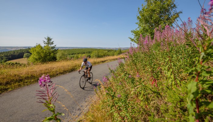
From the top of Llanllwni Mountain with good weather on your side the views are some of the best in the county with the ridge being one of the highest points for miles around with the sea to the south and the Brecon Beacons to the East both clear to see. The descent off the top is a fast one, but one where animals are all around so it is worthwhile holding back a bit and also worth keeping in mind that the turn off is easy to miss with a sharp left onto a narrow road on one straight and fast section just before the village of Llanllwni.
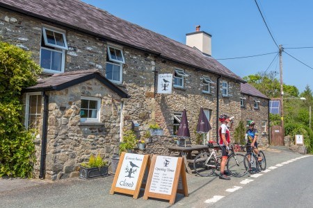
Although not as long, the next climb feels just as hard thanks to the short but steeper sections near the bottom. As the terrain opens up the gradient eases and from the top the descent into the village of Brechfa is perhaps one of the best in the whole of Wales. 6 kilometres of sweeping bends, great views and big smiles from top to bottom. Brechfa is a useful stopping point should you need to refuel with a great community shop and the Forest Arms which has great coffee and cake available.
Follow the B4301 for 3km then turn right at a white house towards Llanpumsaint. Follow through the village and continue to the town of a hill, 6 kilometres after the village where you take a left onto an unclassified road. Follow downhill to a t-junction, turning left and shortly after turn right signposted Drefach-Felindre and National Wool Museum. Follow the unclassified road to a t-junction onto the B4333, turning right and follow the road downhill back to Newcastle Emlyn.
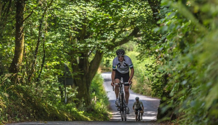
After leaving Brechfa the route follows an easier section and while not flat the undulations are less severe as it passes along a 10 kilometre section of road that feels as quiet and serene as is possible. A brief section on a busier road before turning off and through a village of Llanpumsaint which is the location of the last big climb of the route. The gradient varies as it pitches up and down with some thankfully more merciful sections alongside the steep sections that hurt the legs.
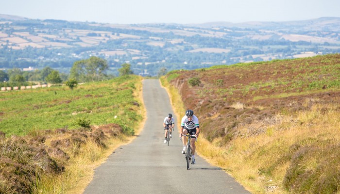
From the top there is a feeling that the hardest sections are now done with 6 kilometres of more undulating roads as the route heads towards the wind turbines that dot the top of the hill side. Joining the B4333 at the top the final section is all downhill and a great way to finish with plenty of fast, flowing bends near the top before it dives into the trees nearer the bottom and pops out on the edge of the village. Although the town is right on the border of Carmarthenshire, the scenery around and especially the area over Llanllwni Mountain give it that big ride feel that the county delivers so well.
Stopping points
Newcastle Emlyn – Y Cwtch Coffi
Newcastle Emlyn – Riverside Cafe
Llanybydder – Siop Y Bont
Llanybydder – Premier Village shop
Brechfa – Community Village Shop
Brechfa – Forest Arms
Useful info
Beiciau Hobbs Bikes – Bike Shop, Carmarthen